Landmark · Gondor
Andrast
The bare cape where the White Mountains run out into the sea at Gondor's western edge
- Appears in
- Appendices
- Region
- Gondor
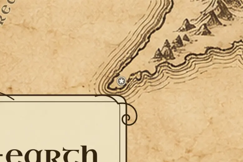
On the map Andrast is the long tongue of high ground at the far western end of the White Mountains, past Anfalas and across the Lefnui. Its other name is Ras Morthil, and the water north of it opens into the bay where the Isen and the Gwathló reach the sea.
Gondor claimed the cape but never settled it. The Lefnui was the practical border, and beyond it the ground rose into bare hills that offered nothing worth defending, so the realm's maps counted it in without garrisoning it.
What little was said of Andrast concerned old inhabitants rather than new ones: a remnant of the Drúedain was believed to have survived in the headland long after their kin elsewhere had died out, which is why Gondorian tradition treated the place as best left alone.
Events at this place
-
TA 3018 · Appendices
The western border fixed at the Lefnui
By the late Third Age Gondor's settled land ended at the River Lefnui, leaving Andrast beyond it empty of towns.
Frequently asked questions
Where is Andrast on the Middle-earth map?
At the far western end of the White Mountains in Gondor, a cape beyond the River Lefnui and west of Anfalas.
Did anyone live on Andrast?
Almost no one. Gondor never settled it, though a remnant of the Drúedain was said to have survived on the headland.