Ford · The Shire
Bucklebury Ferry
The raft-ferry over the Brandywine that Frodo reached minutes ahead of a Black Rider
- Appears in
- The Lord of the Rings
- Region
- The Shire
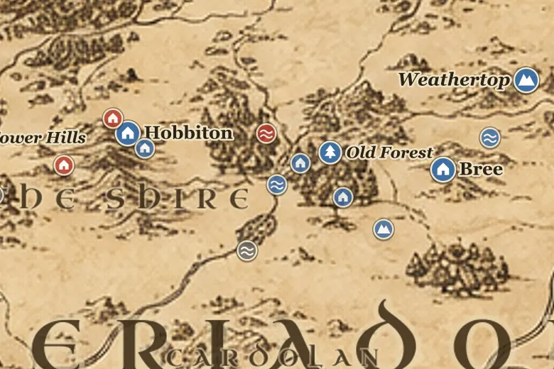
The ferry links the low farmland of the Marish, on the Shire side, with the lane up to Bucklebury on the Buckland side. There is no bridge here: a flat raft is poled across, and the nearest road crossing is the Brandywine Bridge about twenty miles north, which is why the ferry matters to anyone in a hurry.
Frodo used it because of that gap. Farmer Maggot drove the three hobbits down to the landing in his waggon on the evening of 25 September TA 3018, after warning them that a black-cloaked rider had been asking for Baggins. Merry was waiting with the ferry. They had barely pushed off when a dark shape came down to the far bank, and the Rider had to turn north for the Bridge, buying the hobbits a night.
On the map the ferry is the point where the Shire proper ends and Buckland begins, and in practice it is also where the hobbits stopped being travellers and started being fugitives.
Events at this place
-
TA 3018, September 25 · The Lord of the Rings
Crossing into Buckland
On 25 September Frodo, Sam and Pippin were ferried over the Brandywine by Merry as a Black Rider reached the western landing.
Frequently asked questions
Where is the Bucklebury Ferry on the Middle-earth map?
On the Brandywine between the Marish in the Eastfarthing and Buckland, roughly twenty miles downstream of the Brandywine Bridge.
Why did Frodo take the ferry instead of the bridge?
The ferry was the nearest crossing to Farmer Maggot's farm, and taking it left the pursuing Rider with a twenty mile detour north to the Brandywine Bridge.