Region · Gondor
Anfalas
Langstrand
The Langstrand, Gondor's thinly peopled coast between the Morthond and the Lefnui
- Appears in
- The Lord of the Rings
- Region
- Gondor
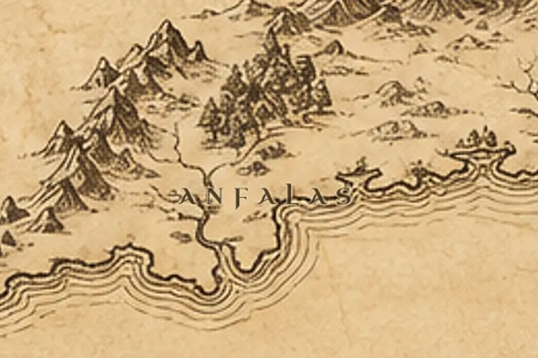
On the map Anfalas is the strip of coast west of Dol Amroth, between the Morthond river and the Lefnui, which marked the practical western limit of settled Gondor. The name means Long Shore, and the Common Speech version is Langstrand.
The province had no great city and few roads. Its inhabitants lived scattered along the beaches and in the valleys running down from the mountains, and Gondor's kings drew little revenue and few soldiers from it.
When the beacons were lit in March TA 3019, Golasgil of Anfalas brought a long column of men to Minas Tirith who were poorly armed compared with Imrahil's knights, mostly hunters and herders with what gear they had. They were still counted as part of the muster that held the city until the Rohirrim came.
Events at this place
-
TA 3019, March 9 · The Lord of the Rings
The muster of Anfalas
Golasgil led a long, lightly armed company of herdsmen and hunters from the Langstrand to the defense of Minas Tirith.
Frequently asked questions
Where is Anfalas on the Middle-earth map?
Along the western coast of Gondor, between the mouth of the Morthond and the River Lefnui, south of the White Mountains.
What does Anfalas mean?
Long Shore in Sindarin, translated into the Common Speech as Langstrand.